Fake Historical Maps Review: Buried Cities and Rewritten Ages
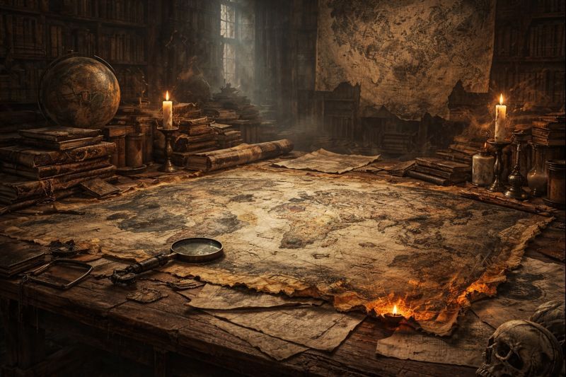
Hello! At first glance, analyzing fake historical maps might seem like a conspiracy theory, but for many of us, it all began with a simple pattern we couldn’t help but notice. All over the world, historical maps depict coastlines with an accuracy unrealistic for their era, cities where today’s deserts are, and throughout ancient cities, ancient buildings with windows set into the ground and entire streets extending far beyond the current ground level are found. These aren’t isolated errors in the drawings. They form a global conundrum, subtly forcing us to question the truth and linearity of history.
Early examples highlight this contradiction. The Cantino planisphere presented geographical detail beyond the capabilities of the instruments supposedly used. The Fra Mauro map documented a worldview based on knowledge that hasn’t fully survived archival filtration. John Snow did not create atlases later, but he was a pioneer of spatial thinking that inspired future anomaly analysis in cartography and the creation of urban elevation layers.
Maps from later centuries still bear strange echoes of earlier designs. The first printed global atlas, Abraham Marimo’s “Theatrum Orbis Terrarum,” shaped the understanding of global geography for an entire generation, yet some of these maps resemble prototypes for which an “origin story” was never published. Some of these maps become more compelling when combined with physical anomalies — such as buried street levels and rebuilt cities.
A recurring characteristic of disputed maps is not only their content but also the silence surrounding them. Archives burned in one region should not erase concurrent knowledge everywhere, yet the gaps coincide across the planet — speaking of a standardized editing of chronology, whether due to conflict, catastrophe, or narrative convenience.
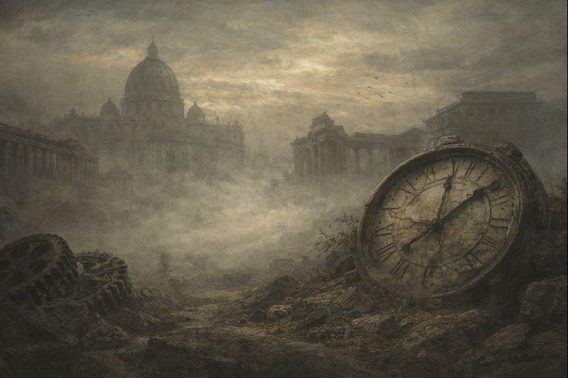
The cities involved in these debates often exhibit a physical version of the same issue. In the subterranean street networks beneath the modern surface of Underground Seattle, architecture didn’t slowly sink — the surface level shifted around it, perhaps during abrupt environmental changes or undocumented periods of reconstruction.
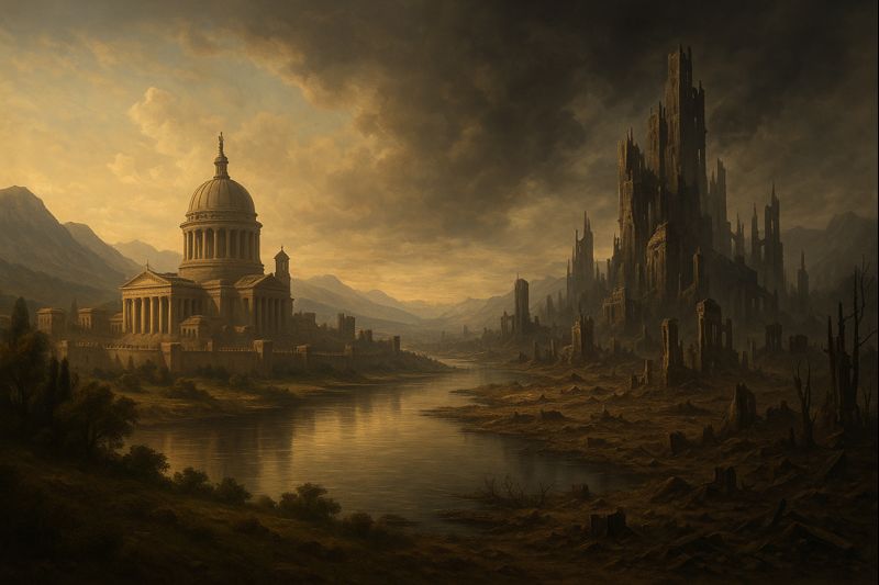
Looking at maps this way encourages a shift in perspective. What if the world didn’t emerge from a single, continuous draft? What if it experienced multiple accelerations, erasures, and cycles of reconstruction, rapid enough to blur the boundaries of authorship and origin?
Exploring buried cities and edited cartography doesn’t require absolute certainty. The method itself—questioning the map, collecting contradictions, tracking symmetries, discovering missing floors in both buildings and chronology — becomes the journey itself.
What Makes a Map “Fake”?
Most falsified or disputed historical maps share the following common features:
- Geographical data that contradicts the year indicated on the map;
- A level of detail that suggests a lack of instruments;
- A lost or unidentified original;
- Depictions of cities that are now deserts.
Some maps are suspected to be forgeries. Others are re-drawn versions based on unidentified prototypes.
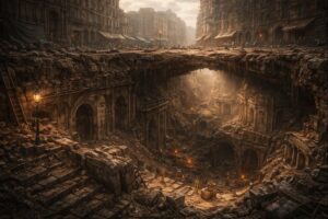
The Global Underground Pattern
Common observations around the world include:
- sunken underground floors and windows;
- streets depicted significantly below modern levels;
- architectural layers predating the documented context.
This is not a multi-layered structure, but a multi-layered “buried reality.”
Who Writes the Calendar Writes the Age
A careful study of history reveals the following inconsistencies:
- coincidences in archival data across continents
- identical cartographic contradictions
- synchronous loss of information that cannot be attributed to any specific period
This narrative can be described in three stages: erasure of an era, smoothing of the narrative, and its global repetition.
When a narrative needs to appear coherent, the “lost century” need not be removed — it can simply be inserted into an adjacent period and presented as continuity.
Research-Focused Approach
Stay realistic, inquisitive, and methodical:
- Collect maps from different centuries
- Compare the terrain in general terms using elevation data from mapping platforms
- Recreate the logic of urban structure using 3D reconstruction tools
- Track the repetition and symmetry of patterns
- Let contradictions lead to questions, not panic
This is where reliable research begins. Ready? Then let’s continue.
FAQ for Search Ranking
Q: Have fake maps shaped real political decisions?
A: Yes. Many territorial claims were cemented by maps before verification tools existed.
Q: Why do contradictions appear globally?
A: It may suggest shared lost sources, synchronized resets, or standardized timeline edits.
Q: Can this subject support personal development?
A: Yes. Recognizing patterns strengthens critical thinking and perception flexibility.


Post Comment